
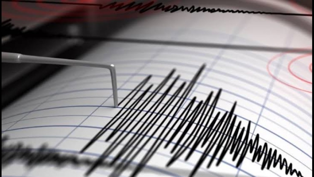
POBNEWS24, Dhaka July 31, 2025 : It was late at night. The Bay of Bengal was turbulent on one side of the sleeping room. And in that sleep, an incident happened unnoticed by everyone, which gave the message of a great flood. On Tuesday night, the bottom of the Bay of Bengal was shaken by four powerful earthquakes in a row. The US Geological Survey (USGS) said that the maximum magnitude of the tremor was 5 on the Richter scale.
The first earthquake was felt at around 1:15 am local time, 275 km from Port Blair in the Andamans at a depth of 10 km in the sea. The magnitude of that earthquake was 5 on the Richter scale. After that, three more earthquakes occurred in the nearby area, measuring 5, 4.9 and 4.6 respectively. Within an hour and a half, these four earthquakes shook the sea area. The previous day, a 6.5 magnitude earthquake had occurred in the Nicobar Islands. Although no tsunami warning has been issued for that part of Indonesia, the series of earthquakes has raised concerns among experts.
Analysts say that earthquakes in the Bay of Bengal are nothing new, but Bangladesh’s geographical location makes them even more worrisome. Because Bangladesh is located at the junction of three geo-technical tectonic plates – the Indian plate, the Myanmar plate to the east and the Eurasian plate to the north. This junction of the India and Burma plates extends through Sunamganj, Kishoreganj, Haor regions, Meghna and the Bay of Bengal to Sumatra. The last major earthquake at this junction occurred 800 to 1000 years ago. As a result, a huge amount of energy has accumulated in the interior of the region for a long time – which can come out together at any time and create a devastating earthquake.
According to researchers, the small earthquakes that are happening frequently now can turn into earthquakes of eight to nine magnitudes in the future. On the other hand, Bangladesh is historically considered a less earthquake-prone country, but is currently at high risk. The enormous energy at the junction of the Indian-Burma plate can come out in the form of an earthquake today, tomorrow or even 50 years later—no one can say.
Sylhet, Dhaka, Chittagong, Mymensingh and the entire northeastern region are particularly at risk. Research says that if an earthquake of magnitude nine occurs, the populous city of Dhaka will be reduced to rubble. Not only will there be a large number of deaths or injuries, but disaster will befall the entire urban system. Because the capital Dhaka is one of the most vulnerable cities due to unplanned urbanization, dense population and non-compliance with building construction policies.
History is witness, in 1885, a 7.5 magnitude earthquake occurred in Bangladesh on the underground fault or crack line of Madhupur in Tangail. After about 139 years, no major earthquake has occurred on that fault line. As a result, energy has accumulated there in a terrible way.
Research says that if an earthquake of magnitude 6.9 to 9 occurs on the Madhupur fault line, at least 864,000 buildings in Dhaka will collapse—40 percent of the total buildings in the capital. In view of this alarming situation, it is necessary to take long-term preparations now, increase disaster response capacity, strictly enforce building construction regulations, and increase public awareness. Because although it is impossible to say when an earthquake will come—the silent tremors of the Bay of Bengal are repeatedly giving the signal that it is coming. This earthquake has reminded us again and again—a terrible disaster awaits us in the future.


